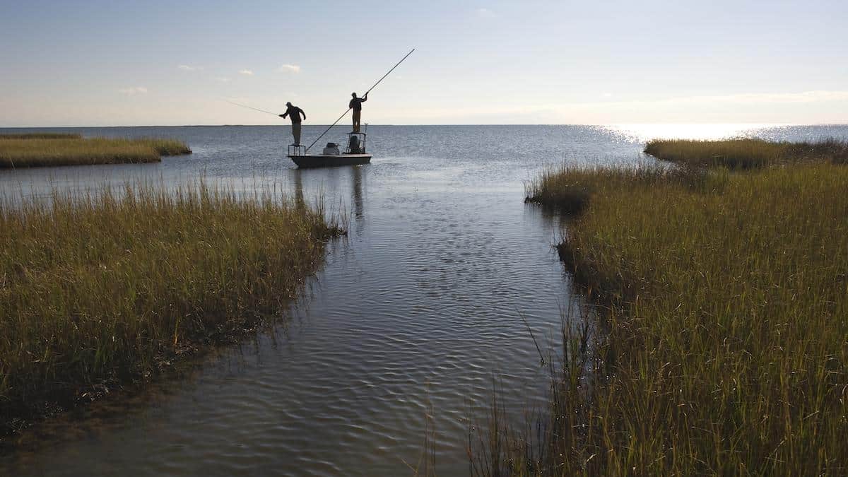
Nearly Half of U.S. Coastal Marshes Are Vulnerable to Sea Level Rise, Study Finds

Tidal wetlands are vitally important ecosystems that provide food, host fishery stocks, store carbon and protect coasts from storm surges.
They are also extremely vulnerable to sea level rise. In fact, a study published in Earth’s Future recently found that 43 to 48 percent of the tidal wetlands along the coastal U.S. were vulnerable to inundation by 2100. Further, that vulnerability is heavily influenced by where they are located.
“When someone says, ‘Hey we have one meter of sea level rise projected for the next 100 years,’ that means something very different for each part of the U.S. coast,” study lead author James Holmquist of the Smithsonian Environmental Research Center told EcoWatch.
Vertical and Lateral Vulnerability
To assess how vulnerable tidal marshes were to sea level rise, the researchers looked at two metrics of vulnerability: vertical and lateral.
Vertical vulnerability refers to a wetland’s ability to raise its elevation by accreting, or building up, sediment. A wetland is more vulnerable if the projected rate of sea level rise in its area outpaces its ability to raise itself up.
Lateral vulnerability, on the other hand, refers to a wetland’s ability to move inland, which is limited if the adjacent ground is too steep or already in use for farming or development. The researchers calculated lateral vulnerability by looking at the “sliver of land” between where wetlands currently end and where they would need to expand to in order to offset future sea level rise. They then determined whether and how much of that land was available.
To reach their conclusions, the study authors relied on sea level rise projections based on low, medium and high greenhouse gas emissions scenarios through 2100 to determine how they would interact with the two types of vulnerability.
“For most of the U.S.,” Holmquist said, “those two things offset each other, but for some places they compound.”
In fact, they compounded for 43 to 48 percent of wetlands, predominantly in the Gulf of Mexico and along the mid-Atlantic Coast, specifically Chesapeake Bay.
The study also found regional variations. Wetlands in the South tended to face more vertical vulnerability, while wetlands in the North and along the Pacific Coast faced more lateral vulnerability, in many cases because of development. Homlquist offered the example of his native state of California.
“You look at the marshes there, they’re just built around,” he said. “You go to the Sacramento Delta, it’s all farmland.”
Local Impacts
These findings emphasize that sea level rise is very much a local problem.
“I think that the strength of this paper is… localizing those forecasts using what we know about the geography of the U.S. coasts,” he said.
This is something that is clear to those who work to protect the vulnerable wetlands of the U.S. Gulf Coast, such as Arsum Pathak, who has a Ph.D. in climate science and serves as the adaptation and coastal resilience specialist for the National Wildlife Federation (NWF)’s south-central region.
Pathak told EcoWatch that she agreed with the paper’s finding that “the vulnerability is higher in the Gulf and especially around Texas and Louisiana.”
This is because, in addition to sea level rise, the land beneath the Gulf is sinking, largely due to human activities including groundwater and oil and gas extraction. The one-two punch of sea level rise and subsidence means it’s fair to say the region is doubly victimized by the fossil fuel industry.
“There’s multiple drivers,” she said.
Pathak focuses on how this vulnerability plays out along the Texas Mid-Coast specifically. An assessment she co-wrote for NWF found that as much as 21 percent of the coast could be converted to open water by 2100, including saltwater wetlands in the Guadalupe Delta, the barrier islands of the Aransas National Wildlife Refuge (NWR) and Boggy NWR. Together, these changes could destroy valuable habitat for whooping cranes, migratory waterfowl, ducks and geese.
To address this, Pathak said, “the best place to start is preserving what we have and restoring what we have started to degrade or we’re starting to lose.”
This, she argued, would require political will and leadership, as well as funding to protect vulnerable areas. Pathak said it was important to secure that funding by emphasizing the many benefits of wetlands, from habitats for endangered species to human recreation to nature-based solutions to the climate crisis.
“The wetlands are also our first line of defense when it comes to climate change,” she said.
State of the Science
Helping determine what wetland protection projects might need funds is something Holmquist thought his research might help with.
“I hope it helps with identifying not just the most vulnerable wetlands today but the most vulnerable wetlands tomorrow,” he said.
In general, Holmquist said he hoped his study would improve the “state of the science” and lead to better forecasts for sea level rise. Those forecasts, he argued, should be:
- Localized, in the way the current study emphasized.
- Near-term, moving from the length of a century to the length of a mortgage.
- Process-based rather than the statistical forecasts highlighted in the recent study.
Holmquist is now pursuing this “dream” of creating open-sourced, process-based forecasting models as the manager of the Coastal Carbon Research Coordination Network.
“I’m really trying to push this next generation of coastal wetland elevation and carbon storage forecasting,” he said.

 233k
233k  41k
41k  Subscribe